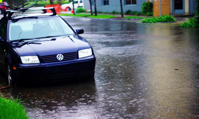
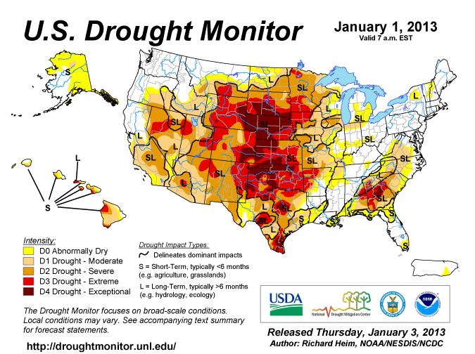
Image by NWS Is it raining there? Yeah, it's raining here,: too.
Update December 2, 5 p.m.:
Professional weather photographer and storm chaser Jim Reed is in town tonight hunting for lightning ... if the pros are expecting fireworks, well, stay safe.
You can follow Reed on Twitter and see some of his fantastic work over here.
Update December 2, 4:30 p.m.:
ABC News 4 has a nice roundup of all the local closing, which are many. Read it here.
Update December 2, 4 p.m.:
The threat persists with this unnerving line coming from the National Weather Service: "The stage appears set for a significant severe weather outbreak across southern south carolina and southeast georgia tonight...with the primary hazards expected to be damaging straight line winds and tornadoes."
Stay up to date with the latest by following the storm on Collecta.
And here's the radar map of the storm in motion.
Update December 2:
The Post and Courier has reported that the severe weather has cancelled after school activities in Berkeley, Charleston and Dorchester 2 and 4 school districts.
The Post and Courier also has some great photos of the downtown floods from this morning.
First reporting:
As predicted, the weather is nasty right now and while it may well lull in the next few hours, it is expected to pick back up this afternoon and continue to worsen into the evening.
As the threat of flooding persists, it's likely some downtown Charleston roads will flood. If you're not familiar with those conditions, take a look at the flooding map. The risk of flooding will likely abate as we move away from the morning high tide.
The Post and Courier has some details about some specific closures already in place.
On the upside a high of 70 is forecast.
Here's part of the warning from the National Weather Service:
Severe thunderstorms...a potent storm system will race from the gulf coast region this morning to southern new england this evening.
A warm and moist air mass in tandem with strong wind fields will build into the region ahead of a strong cold front approaching the area late today and tonight. this could result in the development of severe thunderstorms across southern south carolina and southeast georgia. the main hazards from any severe thunderstorms appear to be damaging straight line winds...tornadoes...and marginally severe hail.
The main time frame for severe weather will be from 2 pm to midnight. there is a potential for severe thunderstorms to organize during this time as the risk of damaging winds and tornadoes shift to the coast this evening.
This is a potentially dangerous situation. stay tuned to noaa weather radio all hazards...tv or your local news source for the latest severe weather watches and warnings from the national weather service in charleston.
We'll update with any major turn of events, but I'll point you to the National Weather Service to stay up on the latest alerts.


