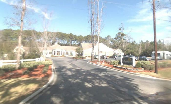
That shouldn't be there: Storm damage from the Mossy Oaks area
Updated 3:30 p.m. April 5: The power is largely back on throughout Beaufort this afternoon after about 2,000 had been without this morning.
The SCE&G website says that only 14 customers still are without power.
WSAV has some local coverage of the storm with a few photos. You can check that out here.
Updated 12 p.m. April 5: We were a bit off on the outage numbers as we got confused by the SCE&G website. That's on us.
Those earlier estimates of power outages in the Beaufort area were way high, and it was closer to 2,000. There are still a bit more than 300 customers without power locally.
Sorry about the confusion.

Updated 9 a.m. April 5: Well it appears the worst is behind us, though we're still in the midst of a nice band of rain and wind.
Not seeing too many reports of damage out there, yet, though there are some downed limbs on area roads.
SCE&G's website still is reporting some 21 incidents in the county causing outages to more than 40,000 customers.
If you have photos of storm damage that you want to share with us send them to beaufort@thedigitel.com
Updated April 5: Chances are you were awoken by some serious thunder this morning, around 4:30 a.m.
Right now Beaufort County is under a severe thunderstorm warning until 6:45 a.m. and a tornado watch until 10 a.m.
SCE&G is reporting that more than 40,000 customers are without power in Beaufort County.
April 4, 6 p.m. update: We've seen our first weather advisory for the Beaufort area, and it's a wind advisory that will run through noon Tuesday.
According to the National Weather Service gusts could be as strong as 40 mph.
Reported April 4: A line of storms that already have battered the central region of the country and are making their way east are expected to impact the Beaufort area tonight into tomorrow morning, according to the National Weather Service.
No local warnings posted, yet, but if you check this map here on Weather.com you'll see that basically the entire eastern seaboard from central Florida up to Baltimore will potentially see some severe weather into tomorrow.
The Carolinas are expected to hold on to the storms until early Tuesday afternoon.
We'll keep you updated with warnings and watches as we see them come across.
In the meantime, probably best to secure anything loose in your yard and protect the garden the best that you can.
Speaking of nasty weather, if you missed last week's hail storm you can check out our back coverage here.

