3:12 am on Wednesday August 24, 2011
| Posted by Ken Hawkins
As Hurricane Irene strengthens, forecast path edges east
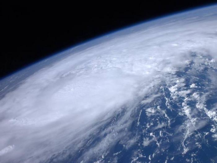
Now with 110 MPH winds and soon expected to break through to a Category 3 storm, Hurricane Irene is beginning it's run through the Bahamas (map below.)
But for the second day straight, the situation has improved for the Lowcountry as the storm's forecast path continues to slide east.
The National Weather Service writes, "There has been little change to the track forecast reasoning from the past few advisories, over the next couple of days the hurricane is expected to gradually turn toward the northwest and north."
To be sure, if the storm does follow near the forecast path we should still brace for near-tropical storm winds and rain — and high waves with accompanying erosion.
If you're a weather imagery geek, NASA has posted a time-lapse video of the storm's growth (see it here.)
As always we'll keep an eye on it and pass along key updates.