4:00 am on Wednesday March 23, 2011
| Posted by Ken Hawkins
Another hot day in Charleston before we cool off; And watch that outdoor burning
Image by Flickr user bricolage.108
So, what furry local critter should we have been watching to warn us that summer was going to get here three months early?
After nearly hitting the mid-80s record on Monday, we received a bit of a reprieve yesterday but are back at it, and the mercury has its eye on the record of 87.
The forecast calls for us to top out at 85 with a fairly strong west wind of up to 20 MPH as a cold front pushes in, cooling us off on Thursday with a high near 77.
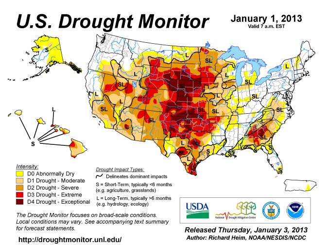
Of course, the recent dry warm weather along with high winds means you should be careful about burning anything, lest we have more brush fires like we did last month.
As for the next few days, Thursday night will get a bit chilly at 46 and Friday will top out around 67 before we warm up a bit to 77 on Saturday and about the same on Sunday with a chance of thunderstorms.


