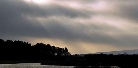
Image by Flickr user YandleImage by 20080817rain.jpg
Though we've been drenched in recent days, most of the state (and Charleston County) is still lagging in precipitation.
Official numbers kept at the Charleston Airport are still less than half of normal. But precipitation maps give a clearer picture: While large swaths of Charleston and Berkeley counties are soaked, many areas are still in the 50-75% of normal range.

This map from the National Weather Service shows much of the Lowcountry at or below normal rainfall for this month (bluer = more rain, redder = less rain), to say nothing about laking rains up to this point.
Read more stories about drought on our topic page.The State Climate Office still lists much of the state in drought status, and Governor Sanford recently asked for federal drought aid.
So what's it mean? Be smart about water use.


