9:57 am on Tuesday August 6, 2013
| Posted by Melissa Byers | References WMBF News
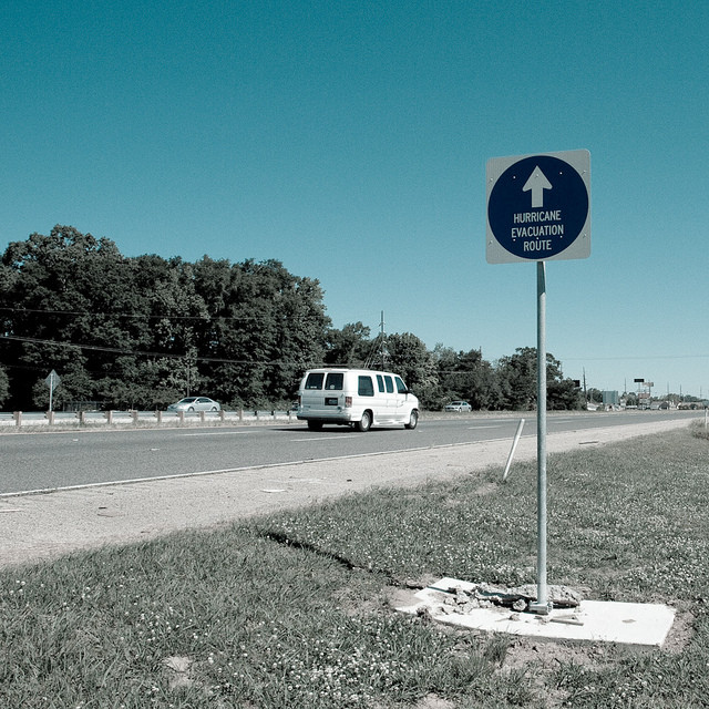
Learning about hurricane preparedness/evacuation routes (Update: There's an app)
Update: If you're unable to attend a town hall meeting that details information about hurricane evacuation routes, worry not. Horry County Emergency Management has developed a smartphone/tablet app that uses GPS technology to determine where you are and the evacuation route that applies to your location, among other county map services. It's available for Android and Apple devices. http://www.horrycounty.org/mobile/.
For more information, check out this WMBF story.
First report, 7/30/13: Horry County Emergency Management is hosting several open house events across the Grand Strand to go over emergency evacuation routes in case of a hurricane.Click for dates, times, and locations. The first is tonight up in the North Strand/Little River area.

